
Bound by family
In my recent trip to South Korea, my sister-in-law surprised me by offering several books off her shelf. Not just any books, mind you, but two volumes of maps from ancient Korea. Both were complied by the Seoul National Archives in 2006 and published during the time my sister-in-law’s husband was the chief librarian/archivist there. From the stories related to me, I understand that the map book project was his major achievement during his time at the National Archives as he had to fight for the budget to compile, digitize, and finally publish the collection. My wife tells me that several family friends were pressuring my sister-in-law for the books after my brother-in-law passed but she understood my love for “map art” and preferred they go to me. When offered, I did not hesitate to accept them.
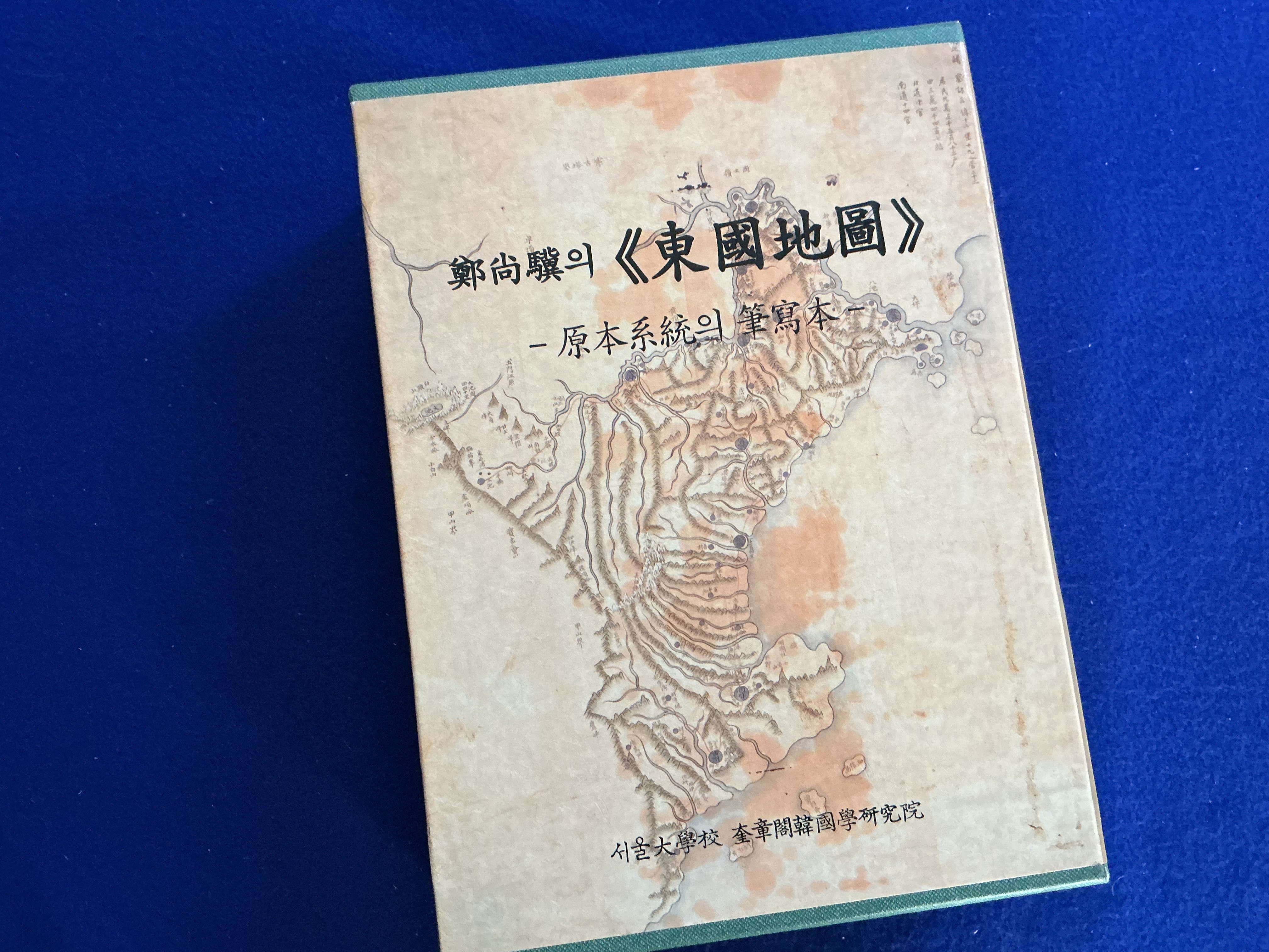
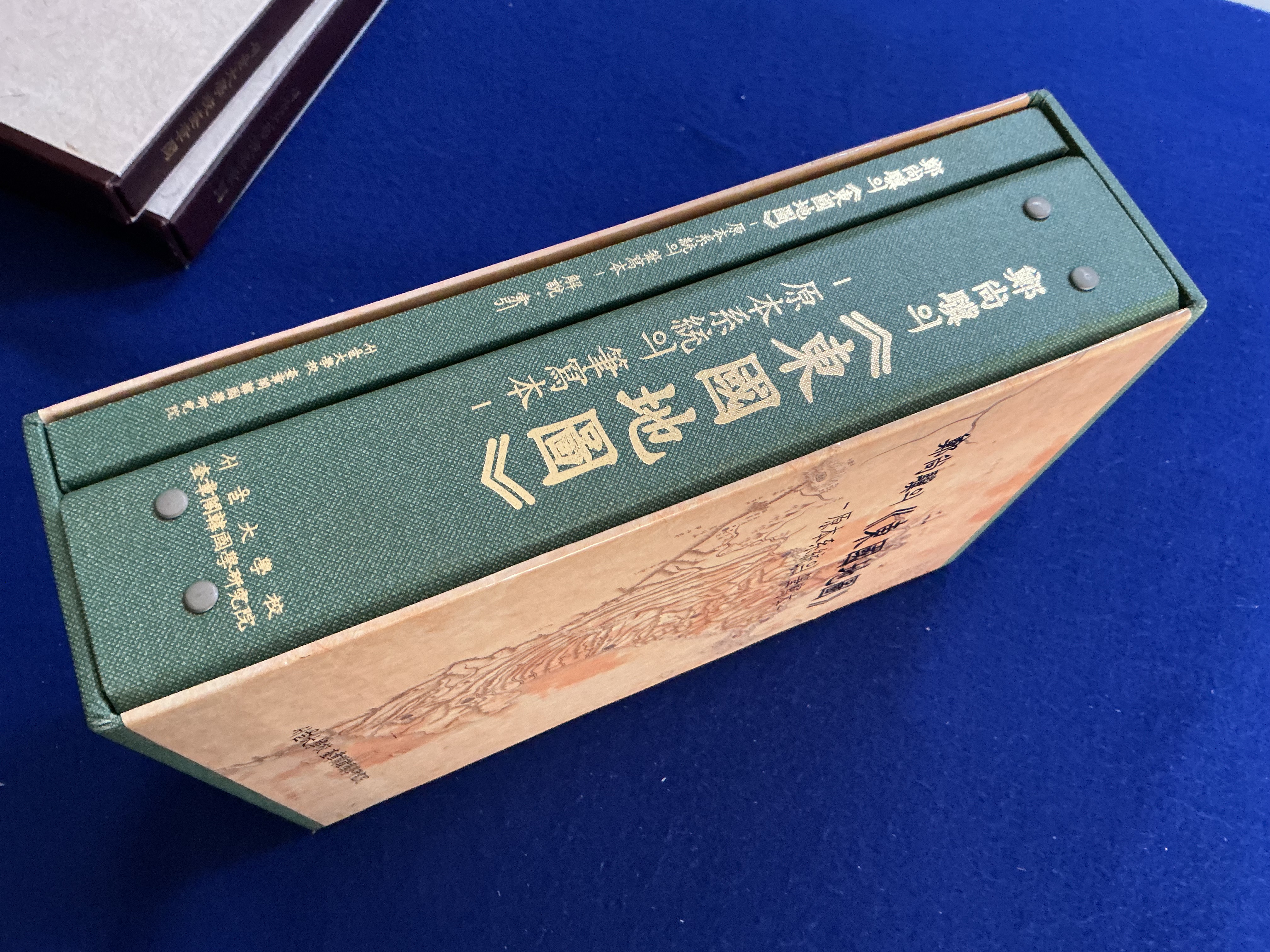
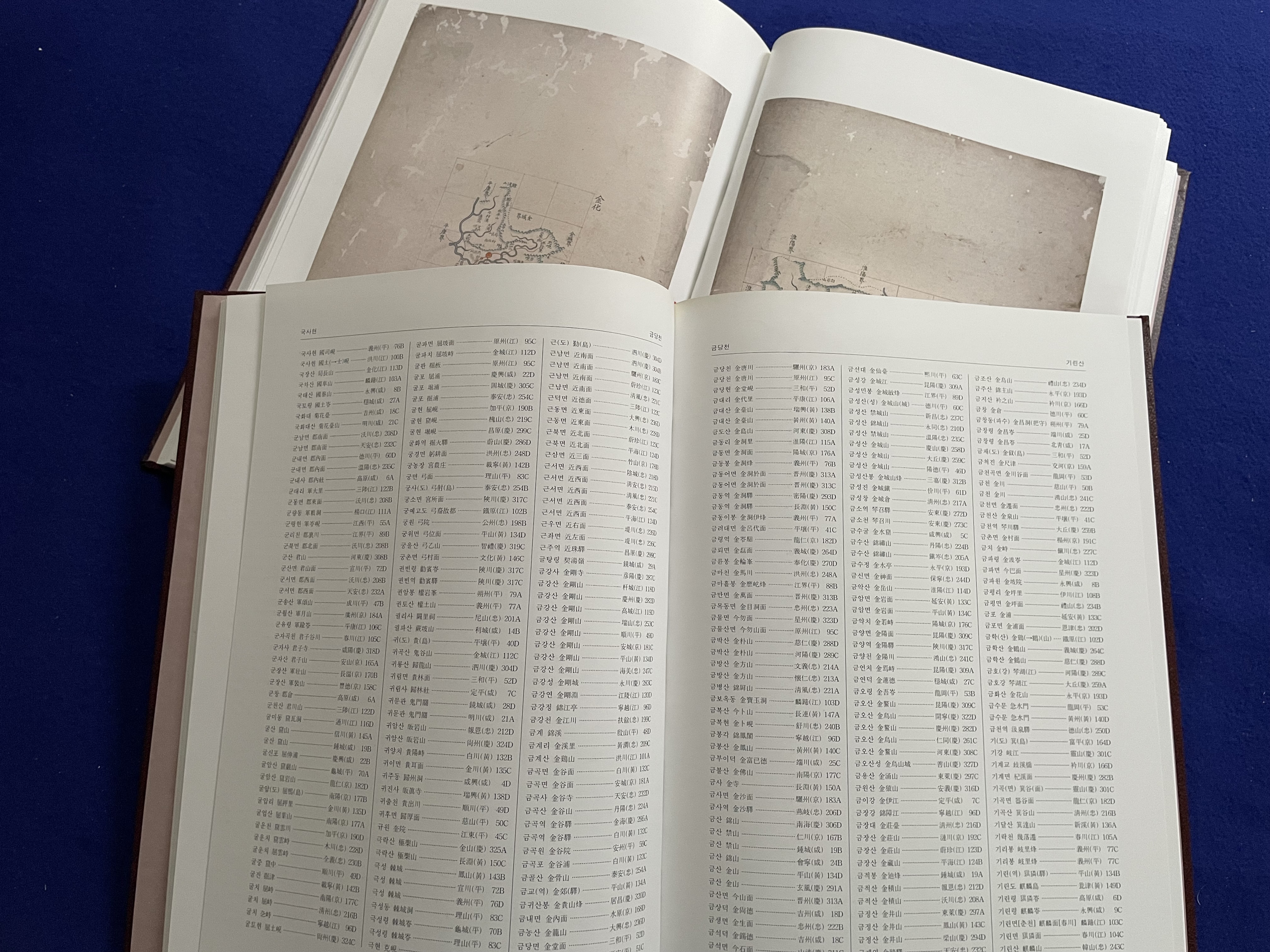
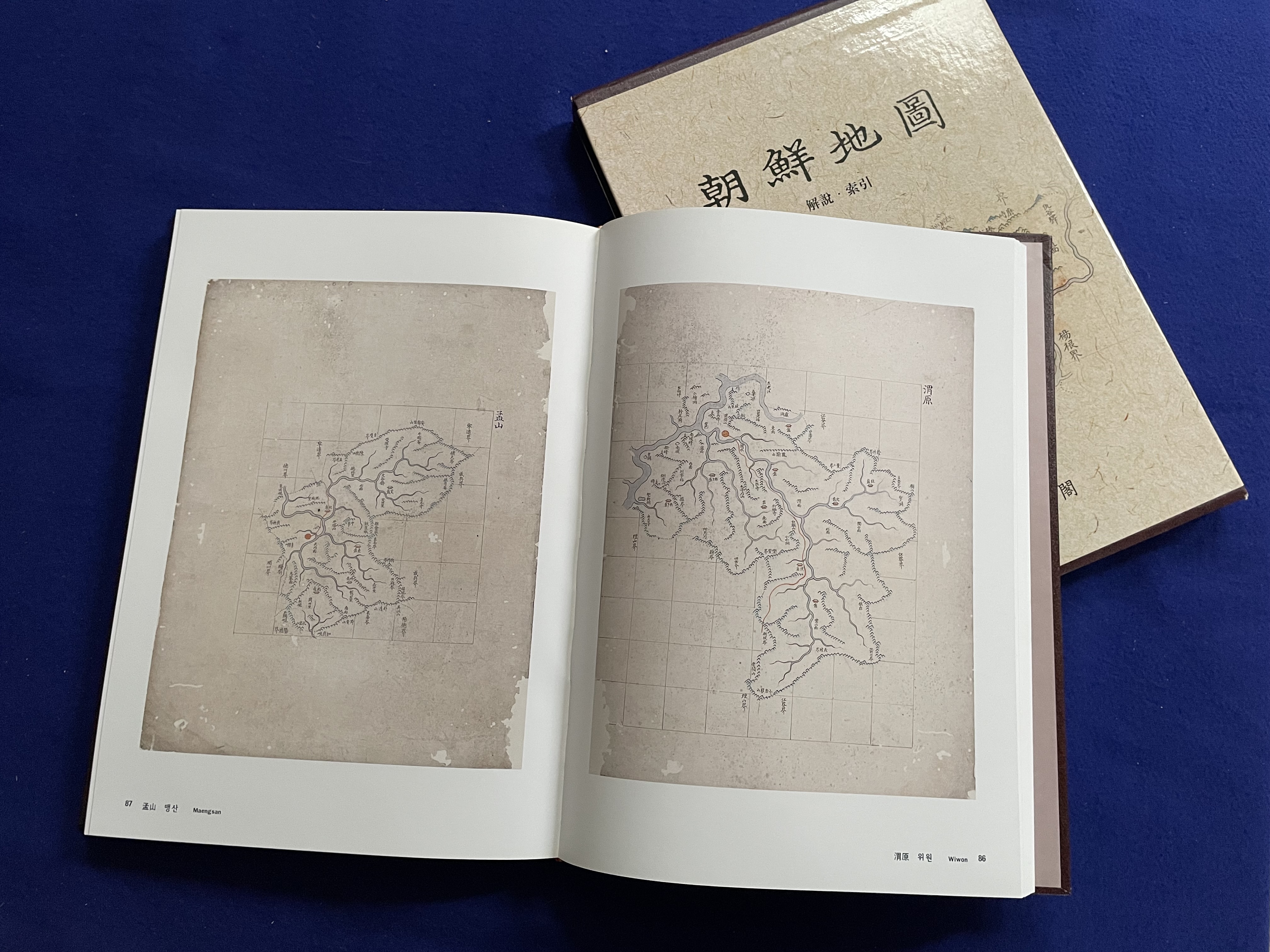
I actually was given four books in two sets; the first set is an “art book” or coffee table-style two-book set with scans of maps in one volume and a gazetteer in another. The second set is a similar gazetteer but accompanied by a binder with full-size foldout sheets of the maps.

Maps as art
I minored in Geography in my undergraduate years and always loved maps. Not only do I love the visual imagery of maps but I love maps as artwork; from different projections to artistic renderings a good map is art that not only portrays (and conveys) information visually but also with feeling. In my view, a good map conveys not only information about a place but also conveys a feeling or sense of the times from when the map was made.
Knowing I was bringing the map books home with me, a few days after being gifted the books I walked through the National Museum of Korea and paid particular attention to the maps of Korea over time. The earliest maps were, as expected, drawn without real accuracy as to distance or scale. As Korea developed—and the government and bureaucracy grew too—the maps became more accurate. The Jeoson Maps books I now possess contain maps from when Korea was trying to more accurately account for its land and people. Though still relatively abstract, the maps nonetheless convey the span of the Korean land and people.
In this digital age I understand that I can find these same maps online and easily call them up. To me that doing so misses out on the true emotion or feeling a good map evokes. I enjoy sitting with the coffee-table book and looking up locations. I can then fold out the larger map and study it in more detail. Somehow, clicking on a map and zooming in or out on a screen (no matter how large or small) just doesn’t have that same emotional connection. Perhaps it is the tacit action of handling a map; that very likely explains why I prefer playing tabletop wargames to computer sims.
Gaming Connection
An essential element of any wargame is a game board that often comes in the form of a map. Wargame maps can range from very functional to artistic, from plain to flamboyant. Though many associate the hexagon with wargames, the reality is that hexes or squares, or even points or areas, all are used for wargame maps.
The best wargame maps to my mind are those that are evocative of the times the maps are portraying while also being functional. Some good artistic license is also essential. Finding the balance between function, art, and emotion is difficult. In the early days of wargaming the limitations of publishing also played a role; while I hear too many critics these days bemoan the eight-color Redmond A. Simonson maps from the heydays of SPI, they all too often do not give him enough credit for what he was able to do with a limited color palette and typesetting of the day. Other game map artists like Rick Barber could make maps that were so evocative and appropriate for the times the games are set in that they deserve to be hung on walls as much as they should be played upon. I will also be the first to admit that the more recent trend towards photo-realistic maps is not a direction I am particularly fond of; sure, they are more “realistic” but sometimes (often times?) in a quest to look so realistic the functionalism is lost.
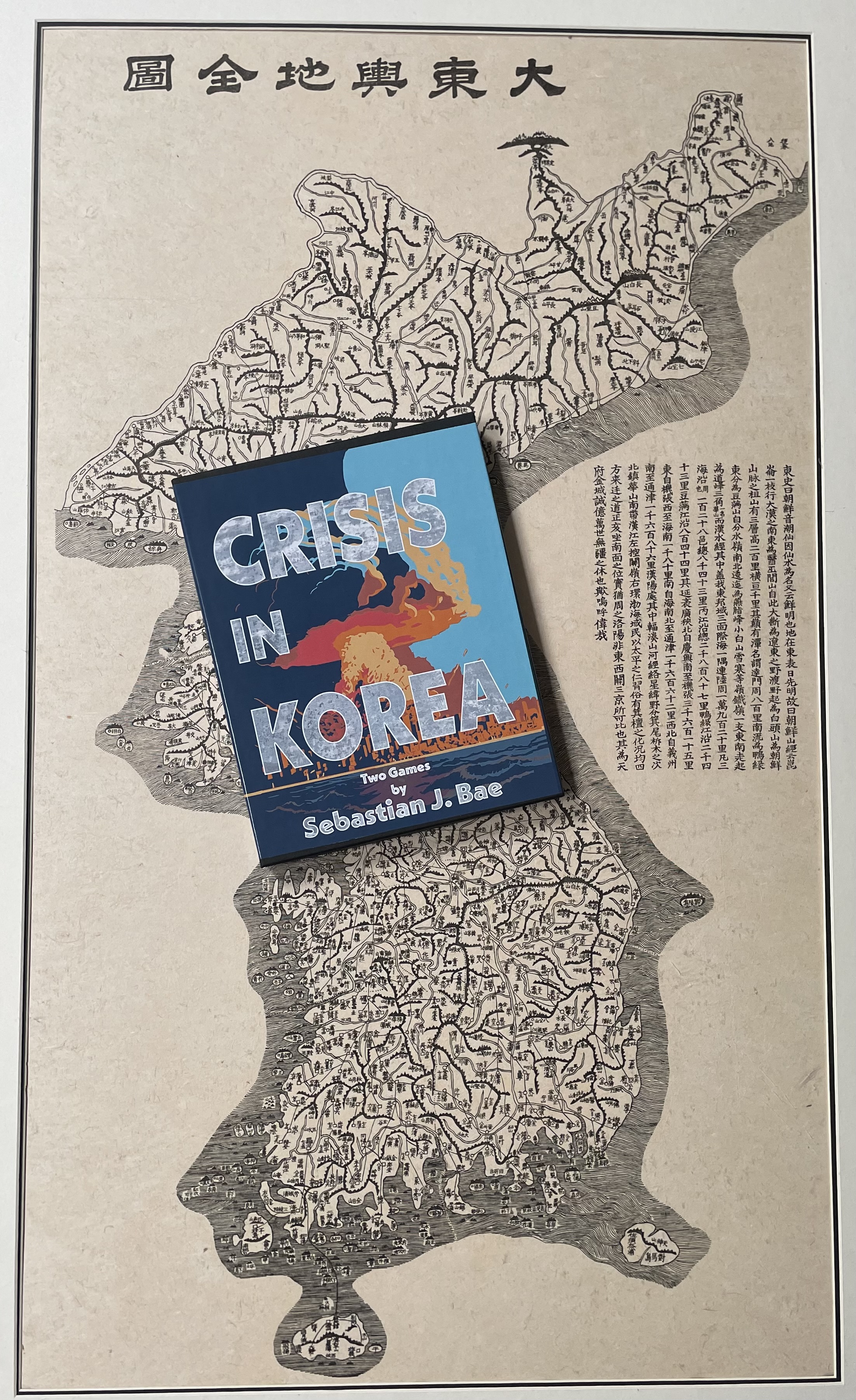
My more recent connections to wargamers in Asia—and in particular those mostly Japan with some in Korea, Taiwan, and China—has exposed me to wargame titles on more ancient military affairs in Asia. The Jeoson Maps books make for excellent point-to-point or area movement map for a wargame in ancient Korea. Maybe someday after I retire I can learn to read more Korean and do some research in the Seoul National Archives for a wargame of my own.
Feature image courtesy RMN
The opinions and views expressed in this blog are those of the author alone and are presented in a personal capacity. They do not necessarily represent the views of U.S. Navy or any other U.S. government Department, Service, Agency, Office, or employer.
RockyMountainNavy.com © 2007-2025 by Ian B is licensed under CC BY-SA 4.0

spectacular! Reminds me of the maps ( charts ) I perused at the Naval War College from the first Korean intervention by the USN
Nice article! Another thing about historical and highly detailed maps is that looking at them feels like time traveling. One of my favorite books is Cities of the World by Braun and Hogenberg, a compendium of hand-drawn city maps from the 16th century, full of wonderful details.
Nice article! Another thing about historical and highly detailed maps is that looking at them feels like time traveling. One of my favorite books is Cities of the World by Braun and Hogenberg, a compendium of hand-drawn city maps from the 16th century, full of wonderful details.